
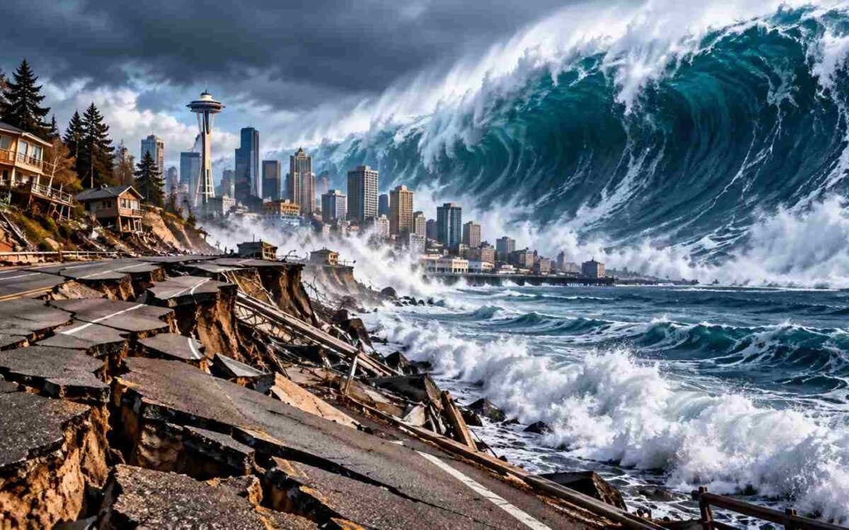
Scientists warn that a powerful magnitude-9 earthquake could one day strike the Pacific Northwest, potentially causing violent shaking, damaging infrastructure and triggering a devastating tsunami along the US West Coast.
The threat comes from the Cascadia Subduction Zone, a massive offshore fault system extending from Northern California to Vancouver Island in British Columbia. Scientists say the fault is capable of producing an earthquake powerful enough to affect communities across Washington, Oregon and parts of Northern California.
Unlike a distant earthquake that gives coastal communities hours of notice before a tsunami arrives, a major Cascadia earthquake could generate dangerous waves close to the shoreline. In some coastal areas, residents may have only a short time to reach higher ground after the shaking stops.
The risk is serious, but it is important to understand what scientists actually know: a major earthquake is possible, not precisely predictable, and there is no confirmed date for when it will occur. The US Geological Survey estimates a 10–15% chance of an approximately magnitude-9 earthquake on the Cascadia Subduction Zone within the next 50 years, depending on the model used.
What Is the Cascadia Subduction Zone?
The Cascadia Subduction Zone is an offshore tectonic boundary where the Juan de Fuca Plate moves beneath the North American Plate.
As the plates interact, sections of the fault can become locked, allowing stress to accumulate over time. When that stress is released suddenly, the result can be a powerful megathrust earthquake.
The fault stretches for approximately 1,100 kilometres along the Pacific Northwest coast. Its size allows it to produce earthquakes significantly stronger than many of the smaller events regularly recorded across the United States.
Scientists have studied geological evidence including buried coastal forests, tsunami deposits and layers of sediment on the ocean floor to reconstruct the region’s earthquake history. Indigenous oral histories also provide important accounts of major past events.
That evidence indicates that the last full-margin Cascadia earthquake occurred on January 26, 1700, with an estimated magnitude between 8.7 and 9.2.
How Likely Is a Magnitude-9 Earthquake?
The possibility of another major Cascadia earthquake has received renewed attention because more than three centuries have passed since the last known full-margin rupture.
However, the passage of time does not allow scientists to predict the precise day, month or year of the next earthquake.
The USGS estimates a 10% chance of a full-margin magnitude-9 earthquake over the next 50 years using a time-independent model. A different model that accounts for the timing of the 1700 earthquake produces an estimate of approximately 15%.
These figures describe long-term probability, not an imminent disaster.
A partial rupture could also produce a major earthquake without breaking the entire fault. Scientists therefore assess multiple possible scenarios rather than relying on a single prediction.
The practical message is clear: the region faces a genuine earthquake hazard, and preparation is more useful than speculation about an exact date.
Which Areas Could Be Affected?
A major Cascadia earthquake could affect communities throughout the Pacific Northwest, although the severity would vary according to distance from the fault, local geology, building construction and other factors.
Areas of particular concern include:
- Washington: Coastal communities, the Olympic Peninsula, the Puget Sound region and major population centres west of the Cascade Mountains.
- Oregon: Coastal towns, low-lying shoreline areas and inland communities that could experience strong shaking.
- Northern California: Communities near the southern portion of the Cascadia fault system.
- British Columbia: Vancouver Island and other parts of the region near the northern end of the fault.
The greatest tsunami danger would generally be along exposed coastal areas closest to the earthquake source. Inland locations could face serious shaking, damaged transport routes, power outages and disruption to essential services.
The USGS identifies ground shaking, tsunamis, landslides, liquefaction and changes in coastal land elevation among the potential consequences of major earthquakes in the region.
Why Could People Have Only Minutes to Escape?
The warning time depends heavily on where a person is located.
A major earthquake along Cascadia could generate a tsunami close to the coast, meaning some communities may have to evacuate immediately after strong shaking.
For residents in low-lying coastal areas, waiting for an official tsunami warning could waste valuable time if natural warning signs are already present.
Emergency guidance generally advises people near the coast to move to higher ground or inland immediately after a long or strong earthquake, once it is safe to move.
A tsunami can arrive in multiple waves, and the first wave is not necessarily the largest. People should remain away from hazardous coastal areas until authorities issue an official all-clear.
The USGS also cautions that earthquake early-warning systems cannot guarantee several minutes of advance notice. Even in a magnitude-9 event, warning times vary substantially by location, and many people may receive only seconds of warning before strong shaking.
How Destructive Could the Earthquake Be?
A full-margin Cascadia earthquake could produce several minutes of intense shaking in affected areas.
Buildings that are not designed to withstand strong earthquakes could suffer severe structural damage. Roads, bridges, rail lines, water systems and electrical networks could also be affected.
Coastal areas face additional hazards because earthquake-related land subsidence and tsunami inundation could damage homes, businesses and critical infrastructure.
Emergency planners must also consider the possibility that multiple systems could fail simultaneously. Roads might become impassable, communications could be disrupted, and emergency services might struggle to reach isolated communities.
The precise impact would depend on the earthquake’s magnitude, rupture pattern, depth and location, as well as the vulnerability of local infrastructure.
A magnitude-9 scenario is therefore not a prediction of uniform destruction across the region. It is a planning scenario used to understand the range of possible consequences and identify where stronger preparation is needed.
The Tsunami Threat Is a Major Concern
One of the most dangerous consequences of a large Cascadia earthquake is the tsunami it could generate.
When a megathrust fault ruptures beneath the ocean, the seafloor can move vertically, displacing enormous volumes of water. The resulting waves can travel toward the coast and inundate low-lying areas.
The danger is especially serious for communities close to the fault, where the earthquake itself may provide the first warning.
Washington State has more than 175,000 people living within mapped tsunami inundation zones, according to the Washington State Military Department. The state is developing evacuation infrastructure, including elevated structures designed to give residents a place to reach when moving inland is not practical.
Local tsunami maps and evacuation routes are therefore essential for people who live, work or regularly visit the Pacific Northwest coast.
What Should Residents Do Before an Earthquake?
Preparation can significantly improve a household’s ability to respond safely when a major earthquake occurs.
Residents should consider taking these steps:
1. Secure heavy furniture. Anchor bookcases, cabinets and other large items that could topple during shaking.
2. Prepare an emergency kit. Keep drinking water, non-perishable food, essential medicines, flashlights, batteries, first-aid supplies and important documents accessible.
3. Make a family communication plan. Decide how household members will reconnect if mobile networks fail or roads become unusable.
4. Learn local evacuation routes. Coastal residents should identify the nearest safe high ground and practise reaching it on foot.
5. Practise earthquake safety. During shaking, the standard advice is to drop to the ground, take cover under sturdy furniture where possible, and hold on until the shaking stops.
6. Prepare for disrupted services. Households should plan for the possibility of prolonged power outages, limited transport and interruptions to water supplies.
The USGS recommends identifying local hazards, securing movable objects, maintaining emergency supplies and learning tsunami evacuation routes as part of earthquake preparedness.
Can Scientists Predict the Next Big Earthquake?
No reliable method currently allows scientists to predict the exact time and location of a major earthquake with the precision needed to announce a specific day or hour.
Researchers can estimate probabilities by studying fault behaviour, historical earthquakes, geological evidence and tectonic processes.
They can also identify areas where the potential consequences of an earthquake are especially serious.
Earthquake early-warning systems serve a different purpose. They detect an earthquake after rupture begins and can send alerts before stronger shaking reaches some locations.
Such systems may provide enough time for people to take protective action, depending on their distance from the source and how quickly the alert is delivered. They do not predict an earthquake days or weeks in advance.
For Cascadia, scientists continue to improve earthquake models and tsunami simulations so that communities can make better decisions about construction, evacuation planning and emergency response.
Why the Pacific Northwest Is Preparing Now
The region’s earthquake risk has implications far beyond the immediate coastline.
Major cities depend on transport networks, ports, electricity systems, hospitals and water infrastructure that could be disrupted by a severe earthquake.
Ports and industrial facilities are particularly important because damage could affect supply chains across the western United States and beyond.
Preparing for such an event requires cooperation among local governments, emergency services, engineers, scientists, businesses and residents.
Building standards, retrofits, public education and evacuation infrastructure can all help reduce the potential loss of life.
The challenge is that a major earthquake may occur without a convenient warning period, so preparations must be completed well before the event.
The Bottom Line: A Serious Risk, Not an Imminent Prediction
The possibility of a magnitude-9 Cascadia earthquake is supported by geological evidence and scientific hazard assessments. The region has experienced a major earthquake in the past, and researchers consider another full-margin rupture a credible future hazard.
But the evidence does not establish that a devastating earthquake is about to happen.
The USGS’s estimated 10–15% probability over the next 50 years shows why the risk deserves attention without suggesting that residents should panic.
For people living in Washington, Oregon, Northern California and nearby coastal communities, the most important response is practical preparation: understand local hazards, secure homes, maintain emergency supplies and know where to evacuate if a tsunami warning or strong coastal earthquake occurs.
The next great Cascadia earthquake cannot be dated in advance. Preparing now, however, can make a critical difference when it eventually happens.



1 comment